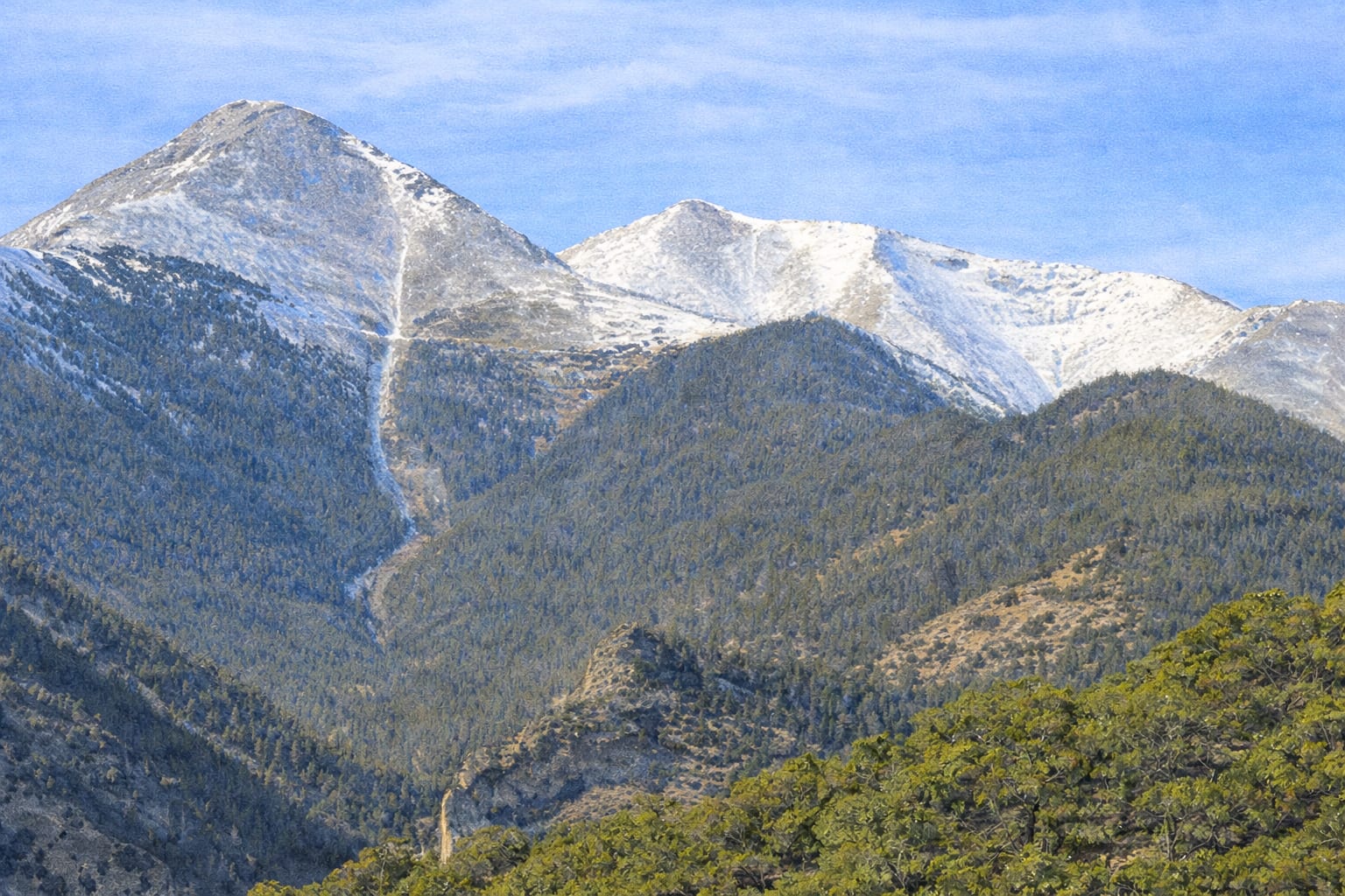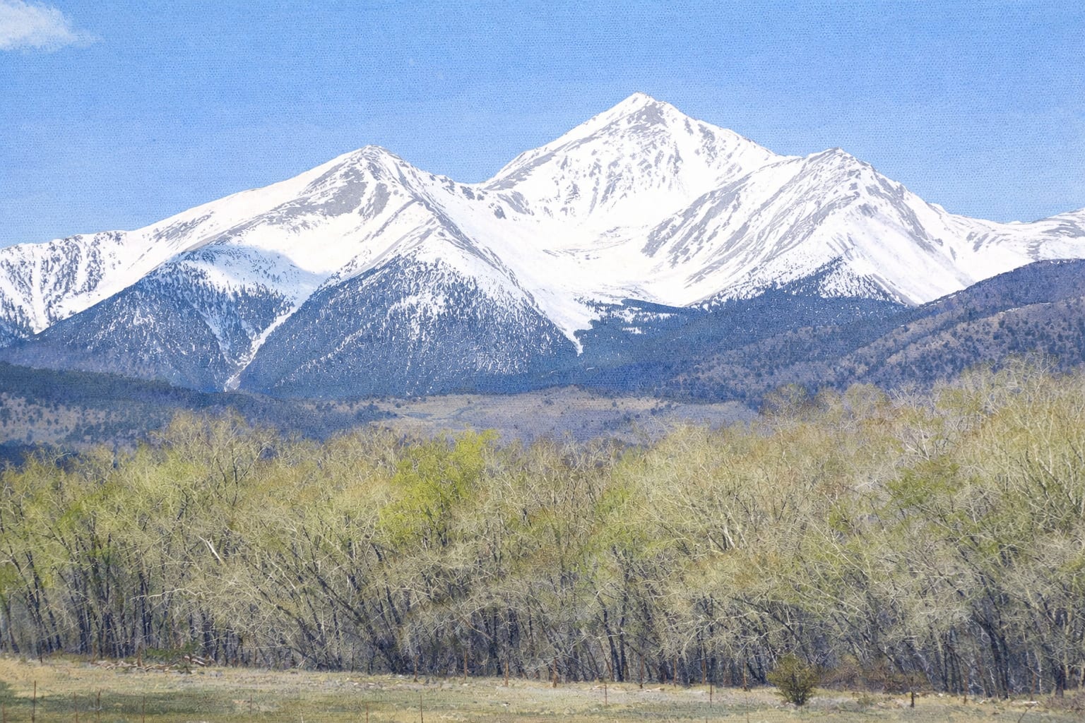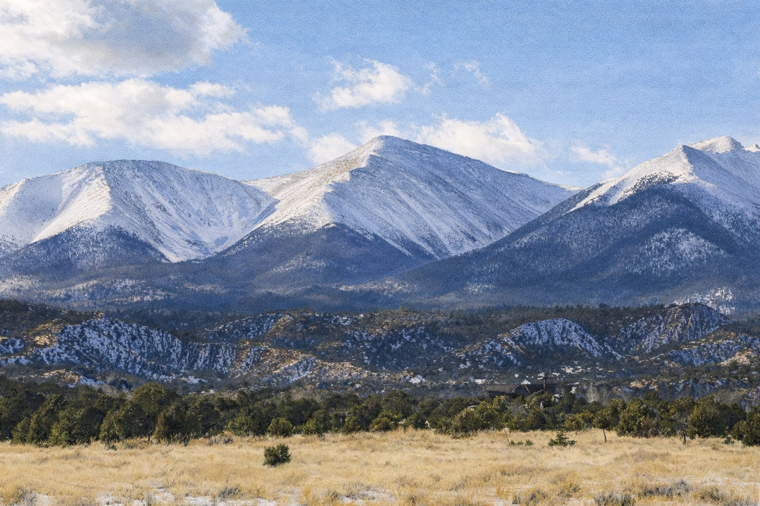
Colorado Fourteener
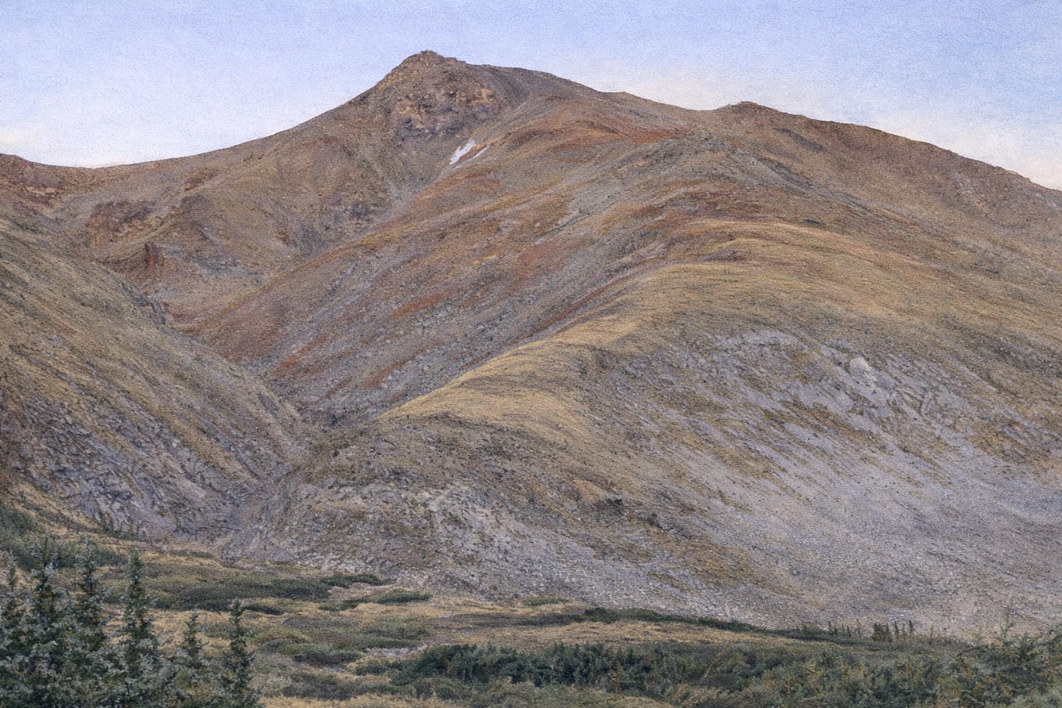
Mt. Belford
14,197'
Rank #20
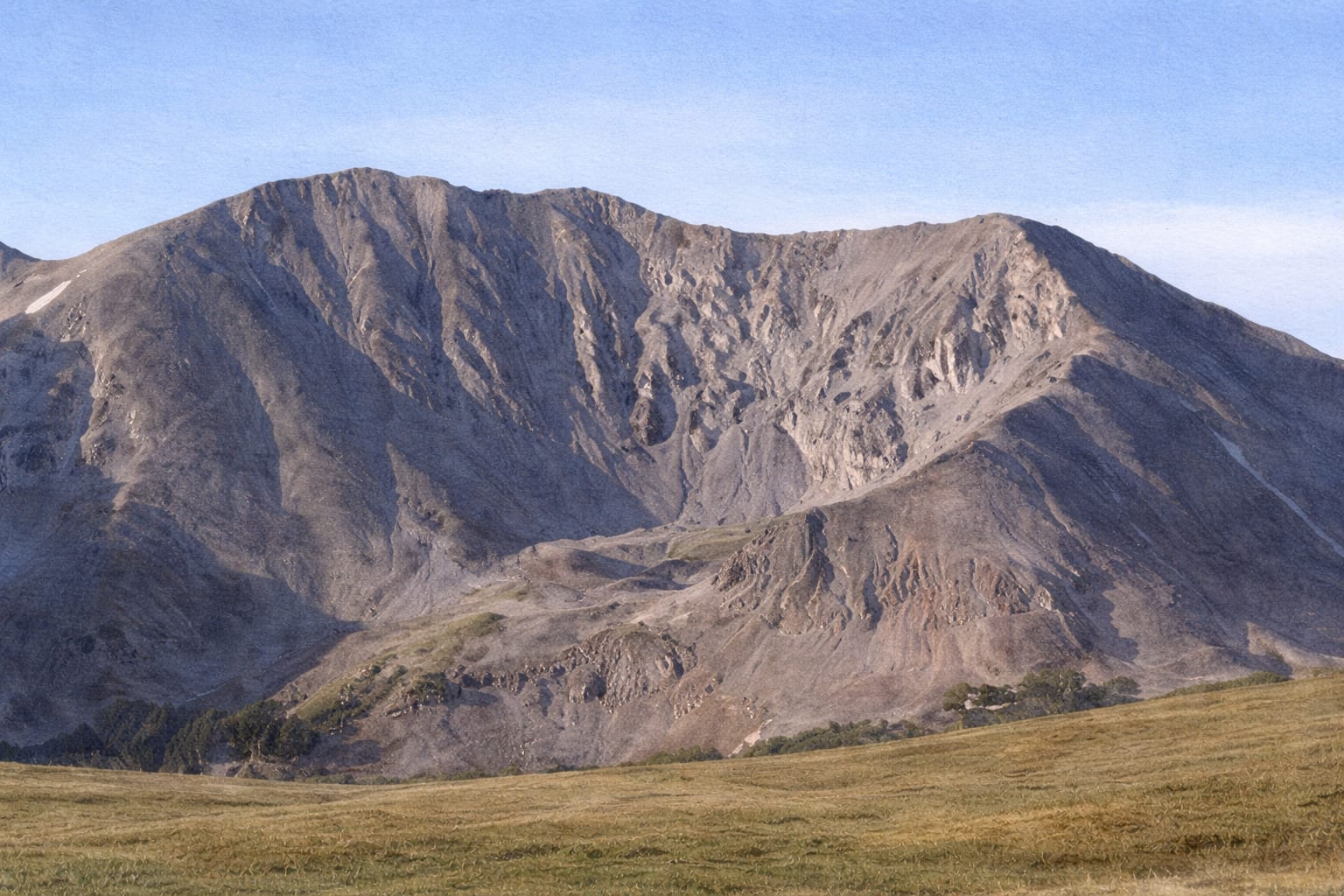
Standard Route
Northwest Ridge
Mt. Belford
14,197' · #20
8 mi
4,500' gain
Class 2
8
miles RT
4,500
ft gain
Class 2
difficulty
5-8
hours
Overview
The highest peak in the Missouri Basin group, commonly climbed with Mt. Oxford. The northwest ridge offers a direct route from Missouri Gulch. The scenic approach passes old mining ruins and wildflower meadows before the final push to the summit.
Quick Facts
- Mountain Range
- Sawatch Range
- Nearest Town
- Buena Vista
- National Forest
- San Isabel National Forest
- Prominence
- 2,037'
Photos
No photos yet. Be the first to share one!
Location
Range Sawatch Range
Coordinates 38.9608°N, 106.3606°W
Routes
Reviews
Share your experience with other hikers
Log in to write a reviewNo reviews yet. Be the first to share your experience!
Trail Reports
Sign in to report trail conditions
No recent trail reports. Be the first to share conditions!