Colorado Fourteener
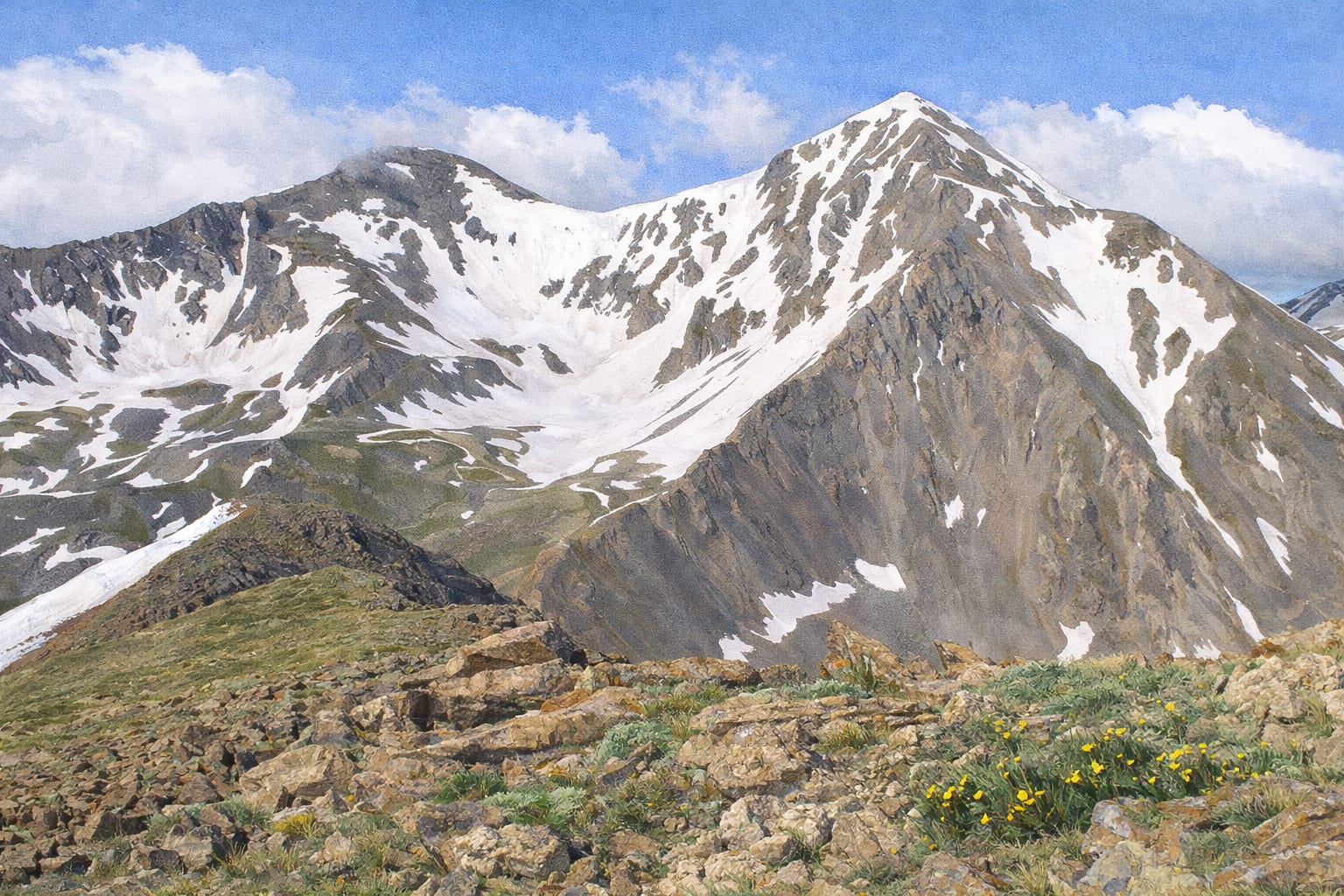
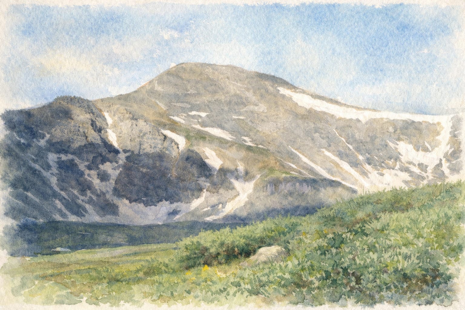
Grays Peak
14,270'
Rank #9
Standard Route
North Slopes
Grays Peak
14,270' · #9
7.5 mi
3,000' gain
Class 1
7.5
miles RT
3,000
ft gain
Class 1
difficulty
5-7
hours
Overview
The highest peak on the Continental Divide. Often climbed with its neighbor Torreys Peak, Grays offers a well-maintained trail and spectacular views. As one of the most accessible 14ers from Denver via I-70, it's a popular choice for both beginners and experienced hikers.
Quick Facts
- Mountain Range
- Front Range
- Nearest Town
- Georgetown
- National Forest
- Arapaho National Forest
- Prominence
- 3,054'
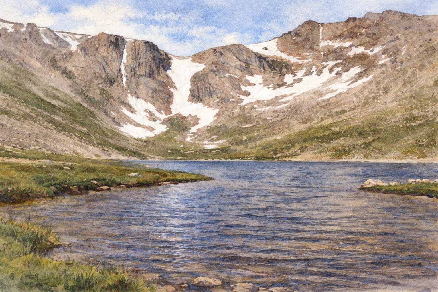
Photos
No photos yet. Be the first to share one!
Location
Range Front Range
Coordinates 39.6339°N, 105.8175°W
Routes
Reviews
Share your experience with other hikers
Log in to write a reviewNo reviews yet. Be the first to share your experience!
Trail Reports
Sign in to report trail conditions
No recent trail reports. Be the first to share conditions!